Surveying
Surveying
Services
Land Surveying
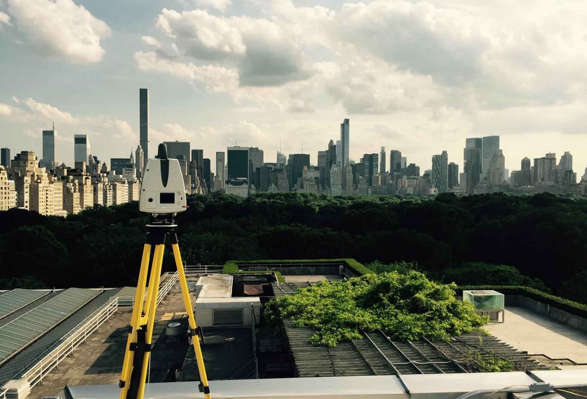
M&P Engineering and Land Surveying has over 30 years of Surveying Experience and holds Professional Land Surveying Licenses in New York State. Out in the field, our team uses state of the art Leica technology. Our Survey segment specializes in Land Surveying, 3D Laser Scanning, and Drone Services.
The following is a list of Land Surveying services we provide:
Land Surveying Services:
- Property Surveys
- Construction Stakeout
- Flood Elevation Certificates
- Subdivision Surveys
- Topographic Surveys
- Hydraulic Surveys
Drone Services:
- Drone Photogrammetry
- Building Façade Inspections
- Aerial Photography Services
3D Laser Scanning Services:
- Building Information Modeling
- Crime Scene Recreation
- 3D Reality

M&P Engineering and Land Surveying has over 30 years of Surveying Experience and holds Professional Land Surveying Licenses in New York State. Out in the field, our team uses state of the art Leica technology. Our Survey segment specializes in Land Surveying, 3D Laser Scanning, and Drone Services.
The following is a list of environmental services we provide:
Land Surveying Services:
- Property Surveys
- Construction Stakeout
- Flood Elevation Certificates
- Subdivision Surveys
- Topographic Surveys
3D Laser Scanning Services:
- Building Information Modeling
- Crime Scene Recreation
- 3D Reality
Drone Services:
- Drone Photogrammetry
- Building Façade Inspections
- Aerial Photography Services
1326 New Seneca Turnpike, B1 Skaneateles, New York 13152 PH: (315) 313-6644 mpengineers.com